Welcome to
Sevier County, Arkansas
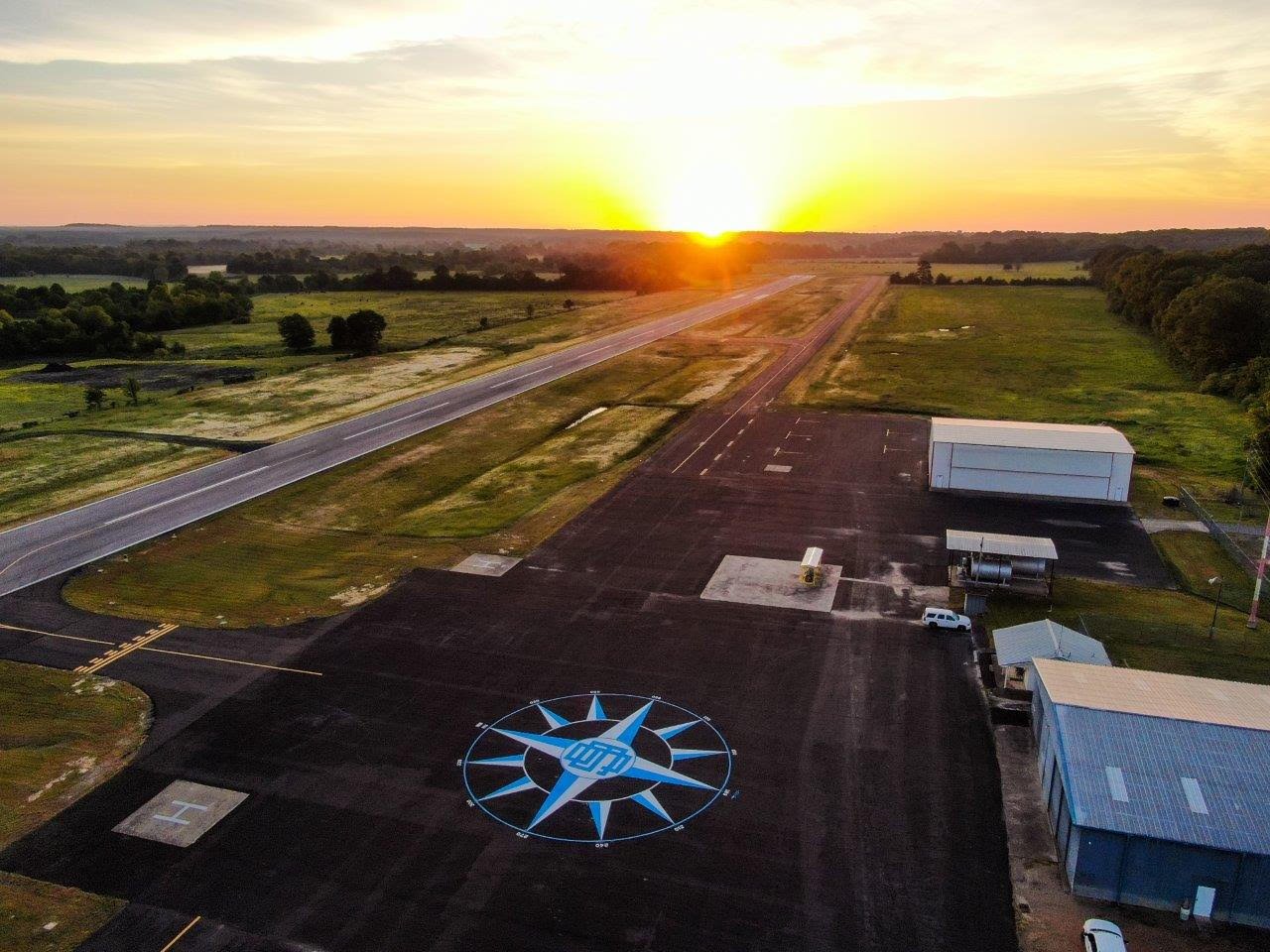
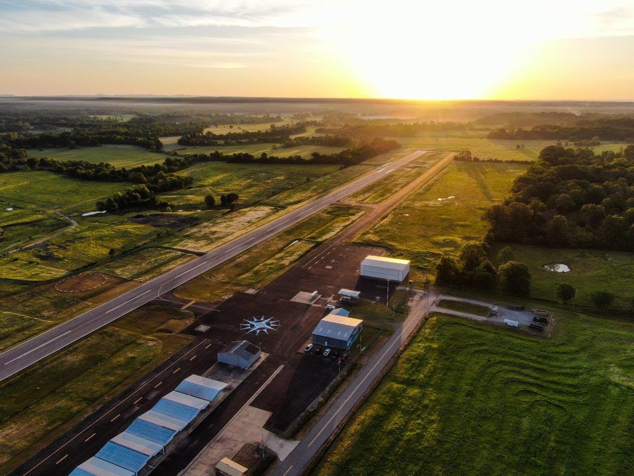
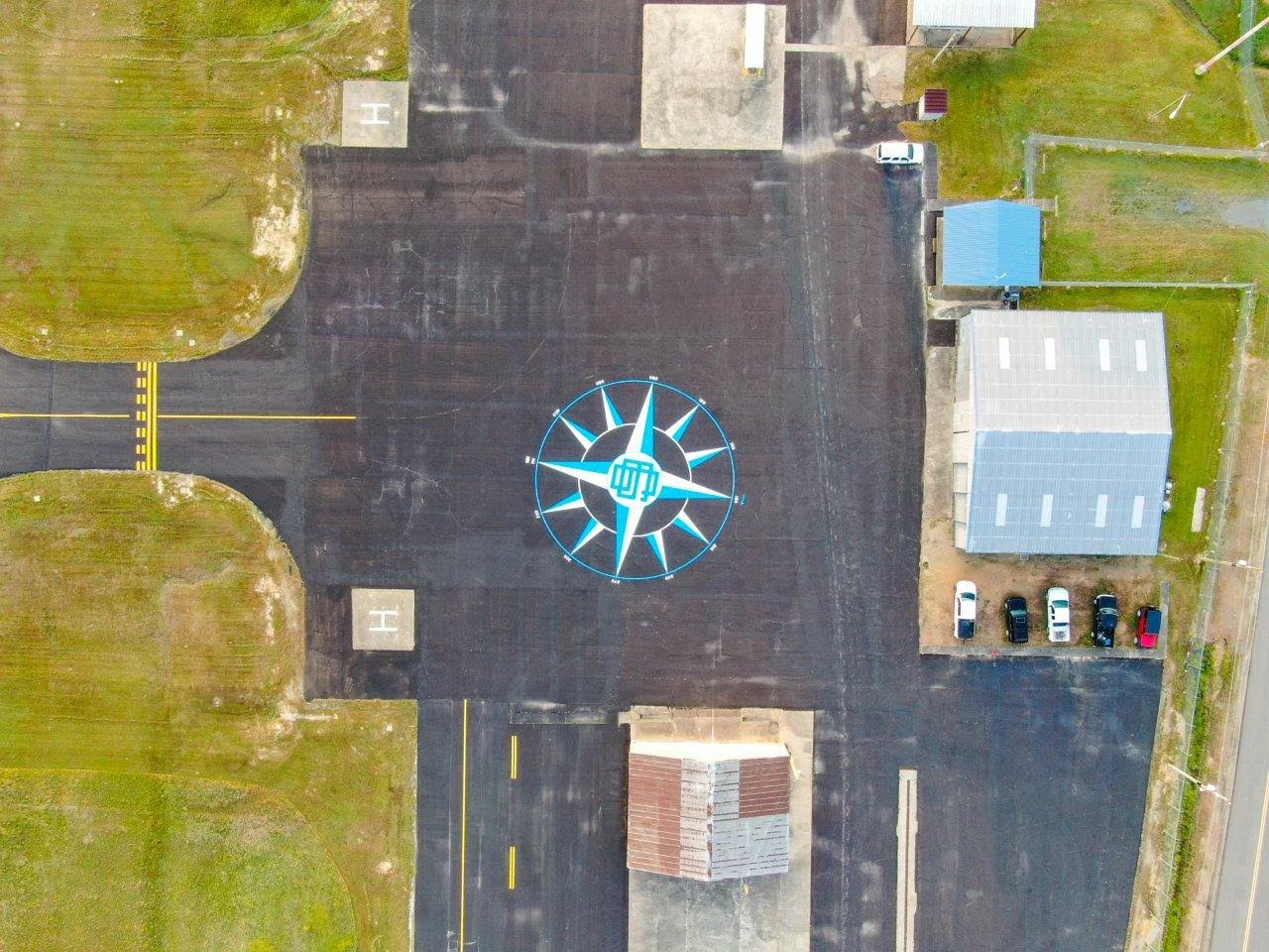
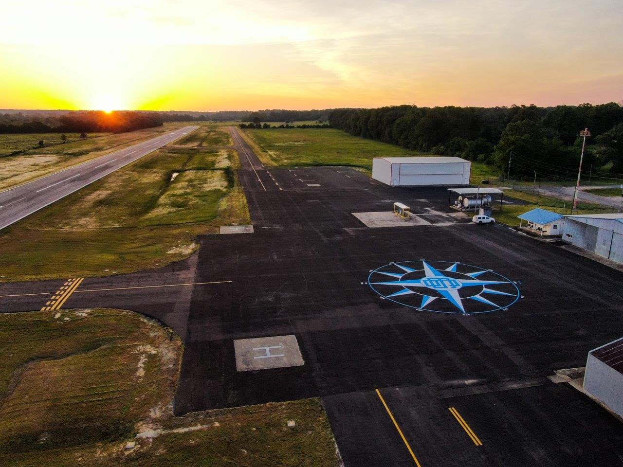
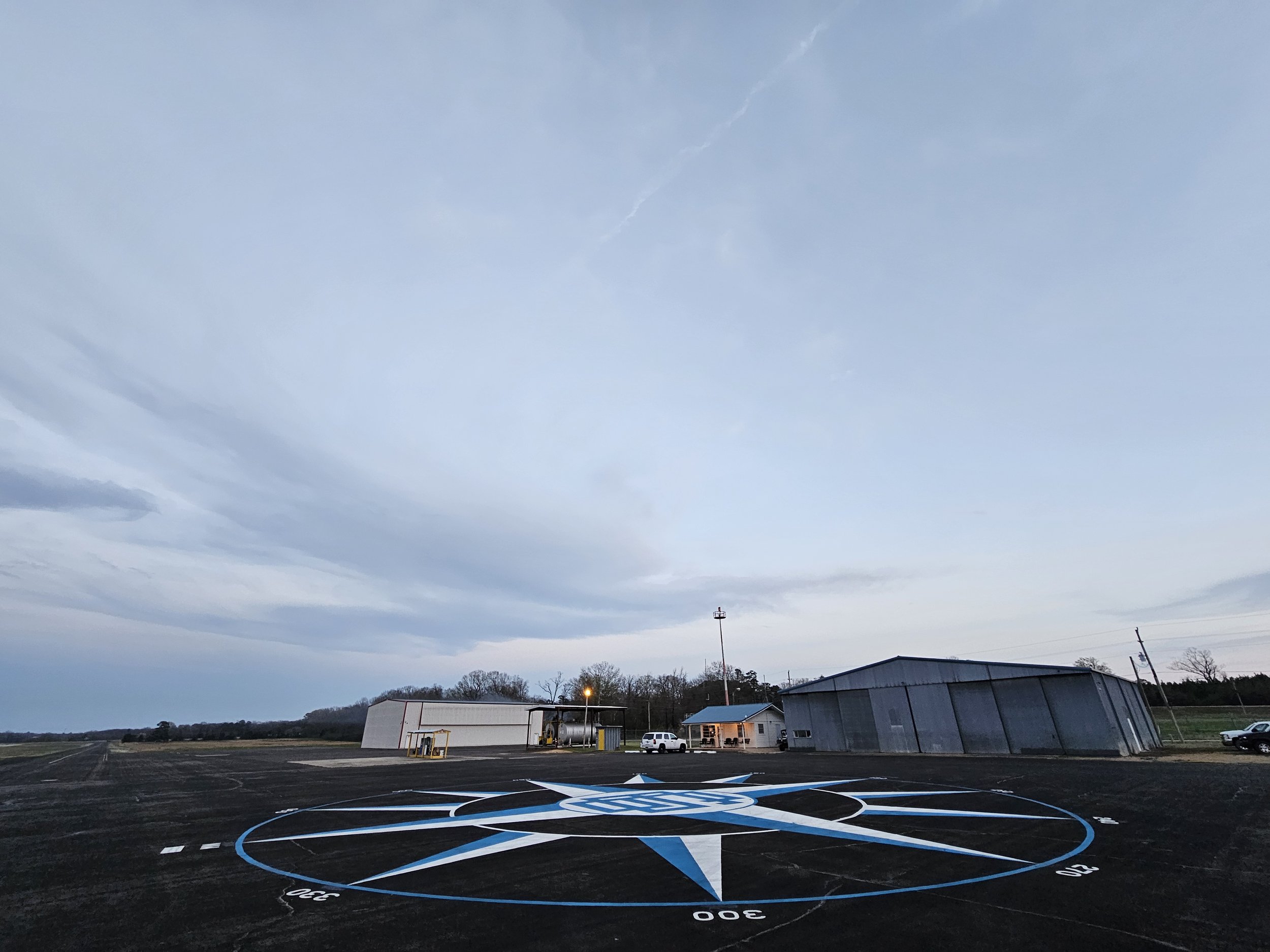
Experience the beauty of southwest Arkansas at
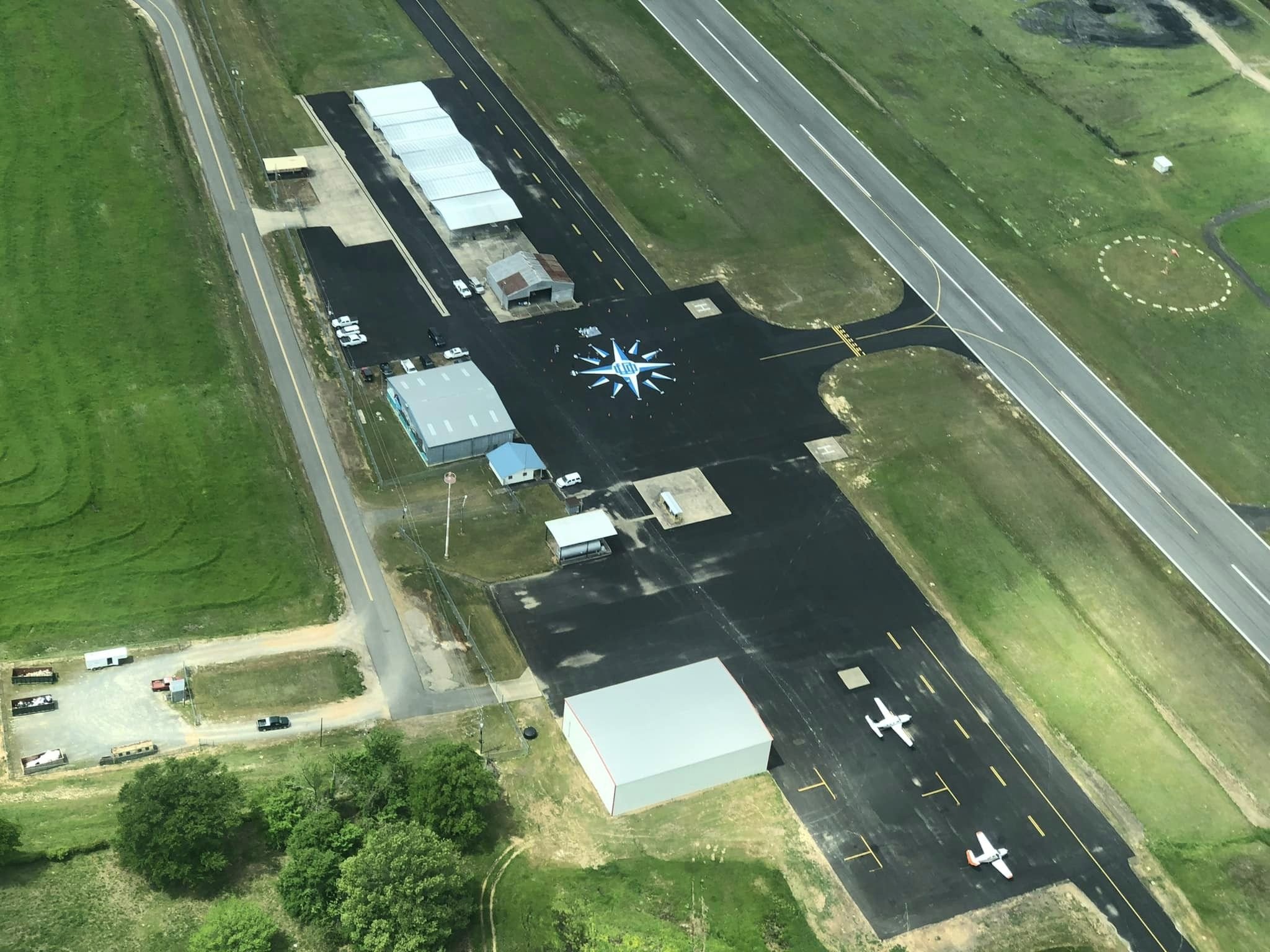
J. Lynn Helms Sevier County Airport.
Located just outside De Queen, Arkansas,
at 1882 Hwy 70 W.
-

Please refer to Flight Service Station for all Prior-Permission Required (PPR) and NOTAMs.
Visit us
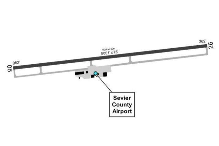
DE QUEEN J. LYNN HELMS SEVIER CO (DEQ) (KDEQ)
3 W UTC-6(-5DT) N34°02.82’ W94°23.96’
355 B NOTAM FILE DEQ
RWY 08-26: H5001X75 (ASPH) S-27 MIRL
RWY 08: REIL. PAPI(P2L)—GA 3.0° TCH 44’. Tree.
RWY 26: REIL. PAPI(P2L)—GA 3.0° TCH 49’. Trees.
SERVICE: FUEL 100LL, JET A LGT Dusk-Dawn. Actvt REIL Rwy 08 and 26; PAPI Rwy 08 and 26; MIRL Rwy 08-26—CTAF.
AIRPORT REMARKS: Unattended. Fuel avbl 24 hr self-serve with major credit card (100LL & Jet A)
AIRPORT MANAGER: (870)-582-5414
WEATHER DATA SOURCES: ASOS 134.075 (870) 642-7829.
COMMUNICATIONS: CTAF/UNICOM 122.8
®FORT WORTH CENTER APP/DEP CON: 123.925
CLEARANCE DELIVERY PHONE: For CD ctc Fort Worth ARTCC at 817-858-7584.
RADIO AIDS TO NAVIGATION: NOTAM FILE TXK.
TEXARKANA (VH) (H) VORTACW 116.3 TXK Chan 110 N33°30.83’ W94°04.39’ 326°35.9 NM to fld. 273/7E.
Our Services
-

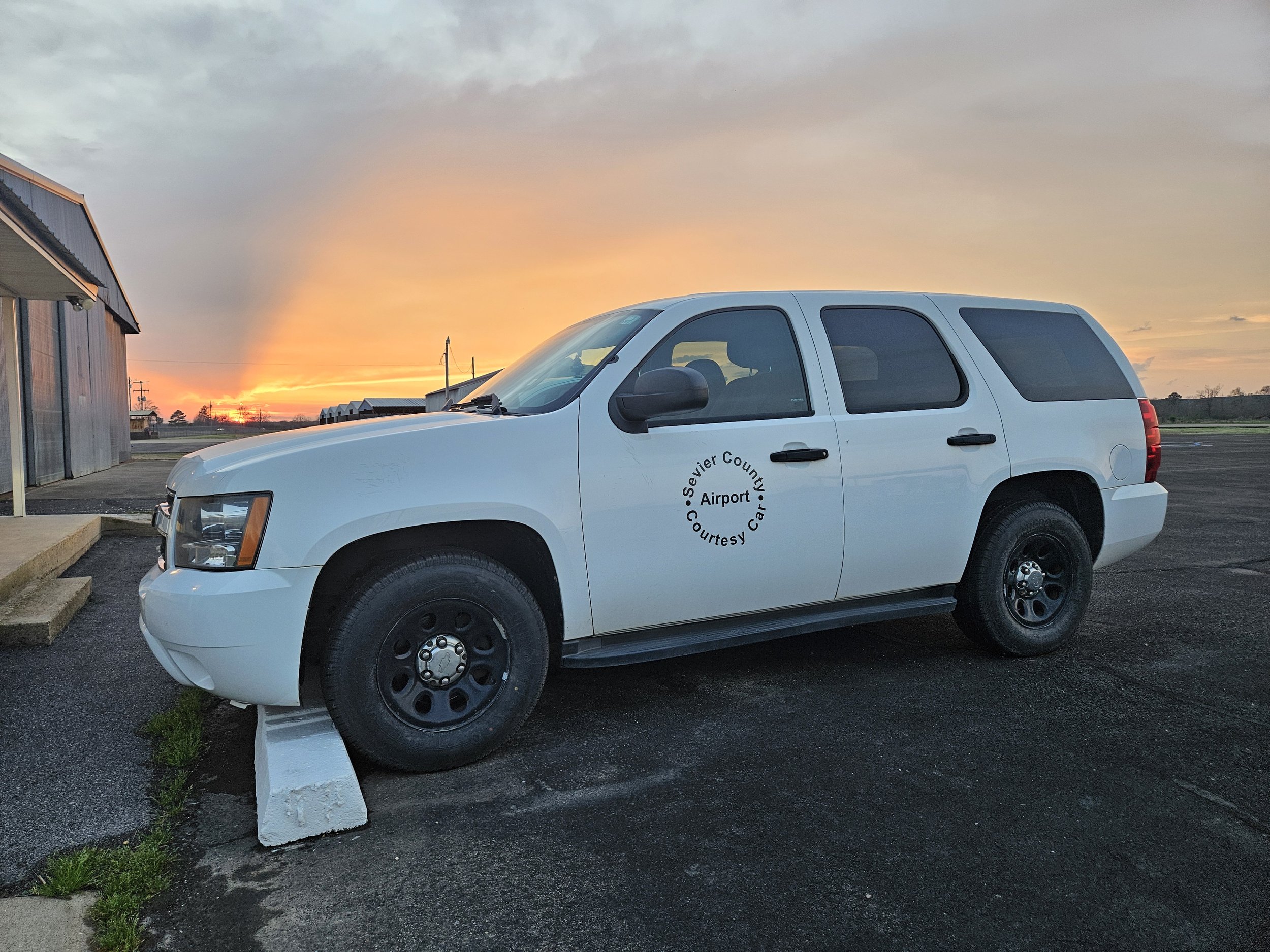
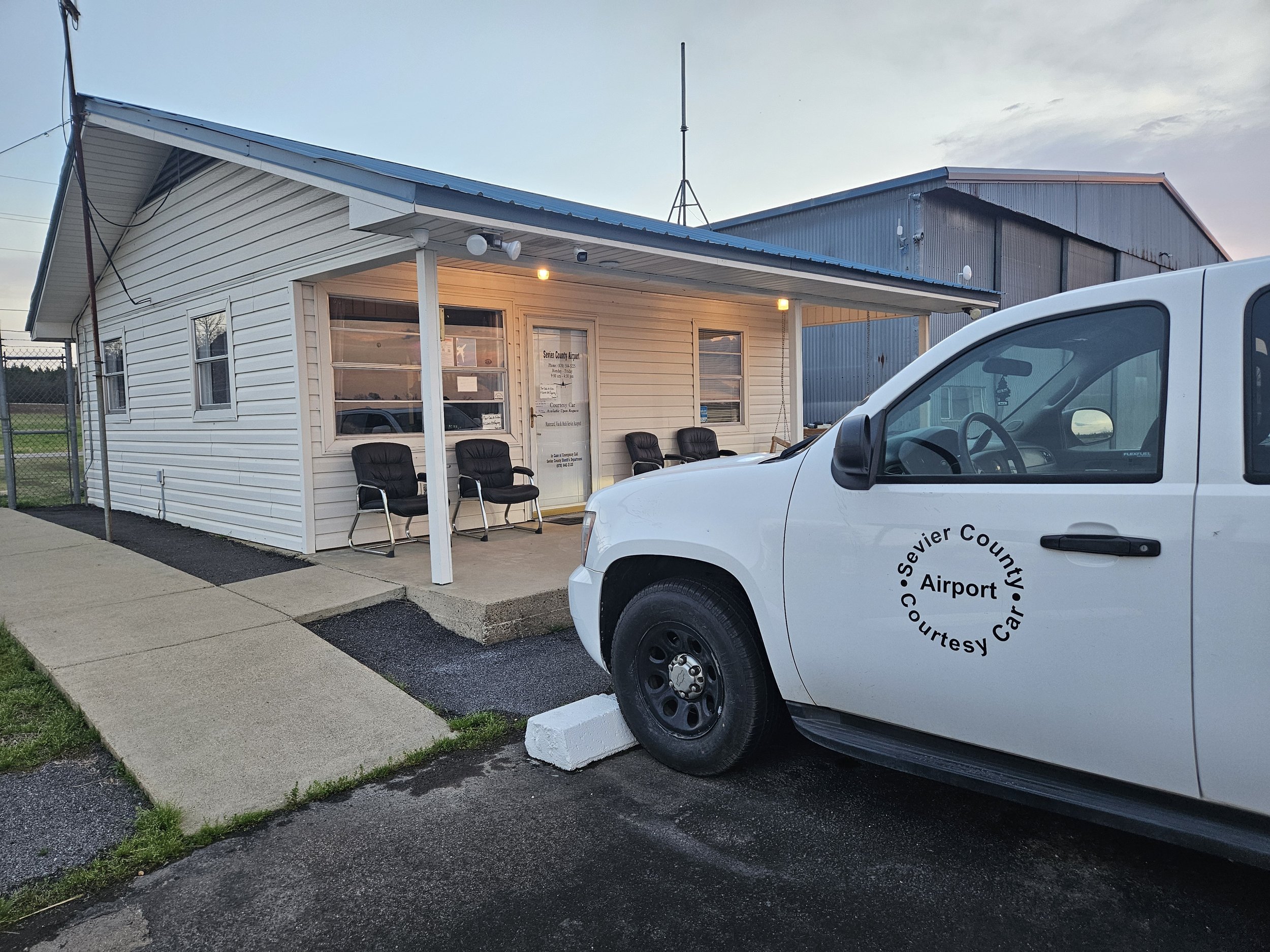
COURTESY CAR
We offer one courtesy car for guests to utilize.
-

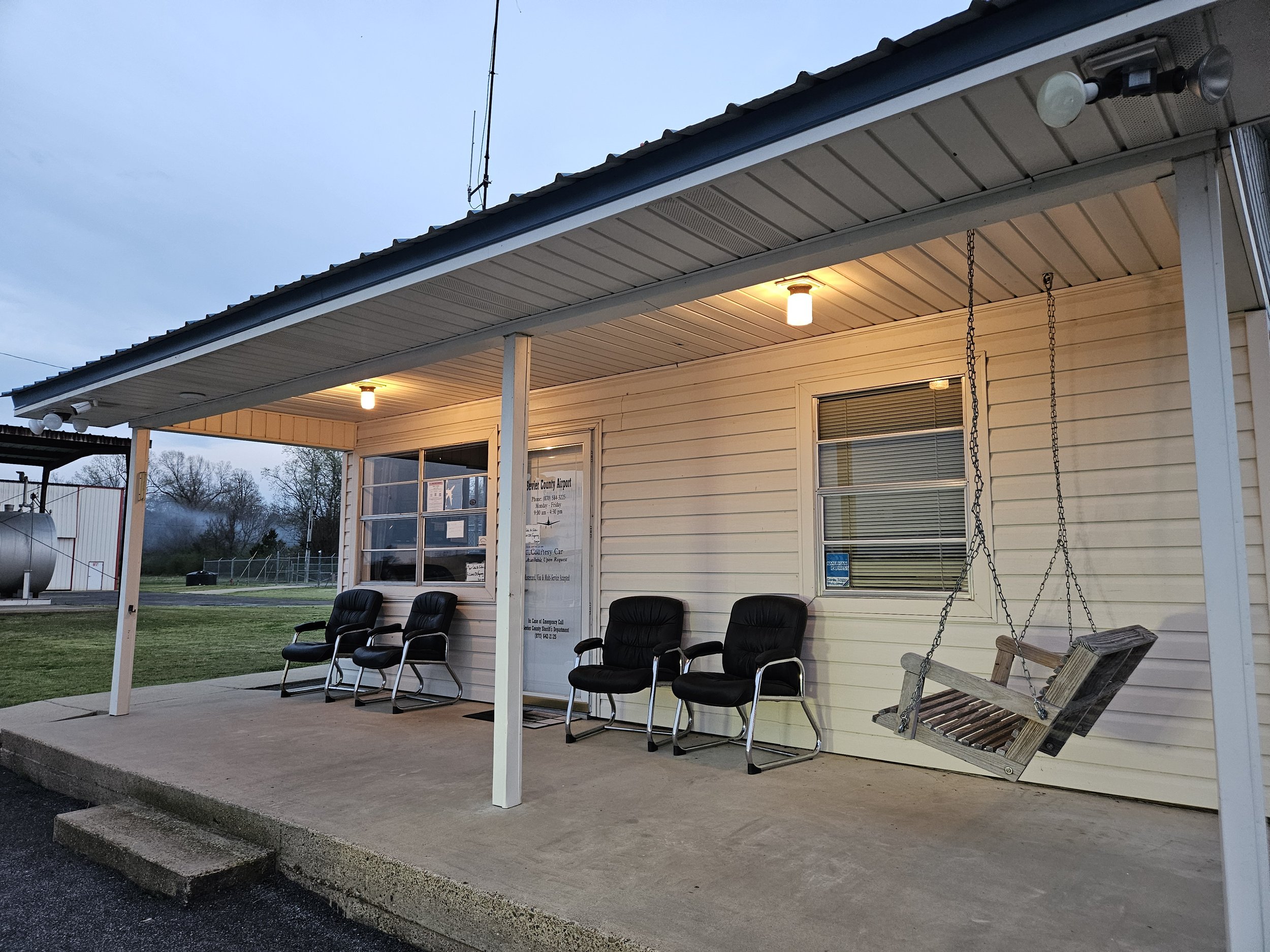
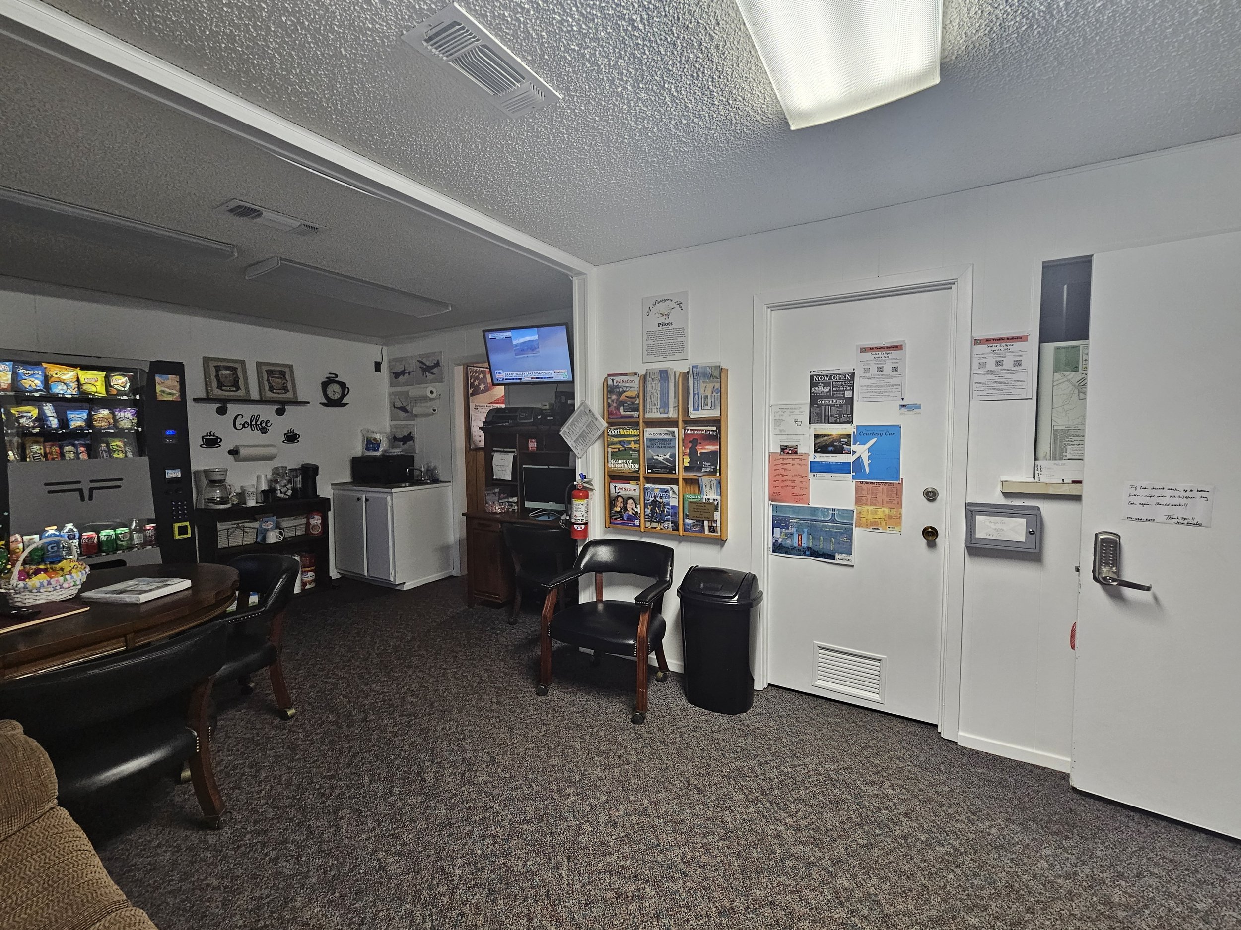
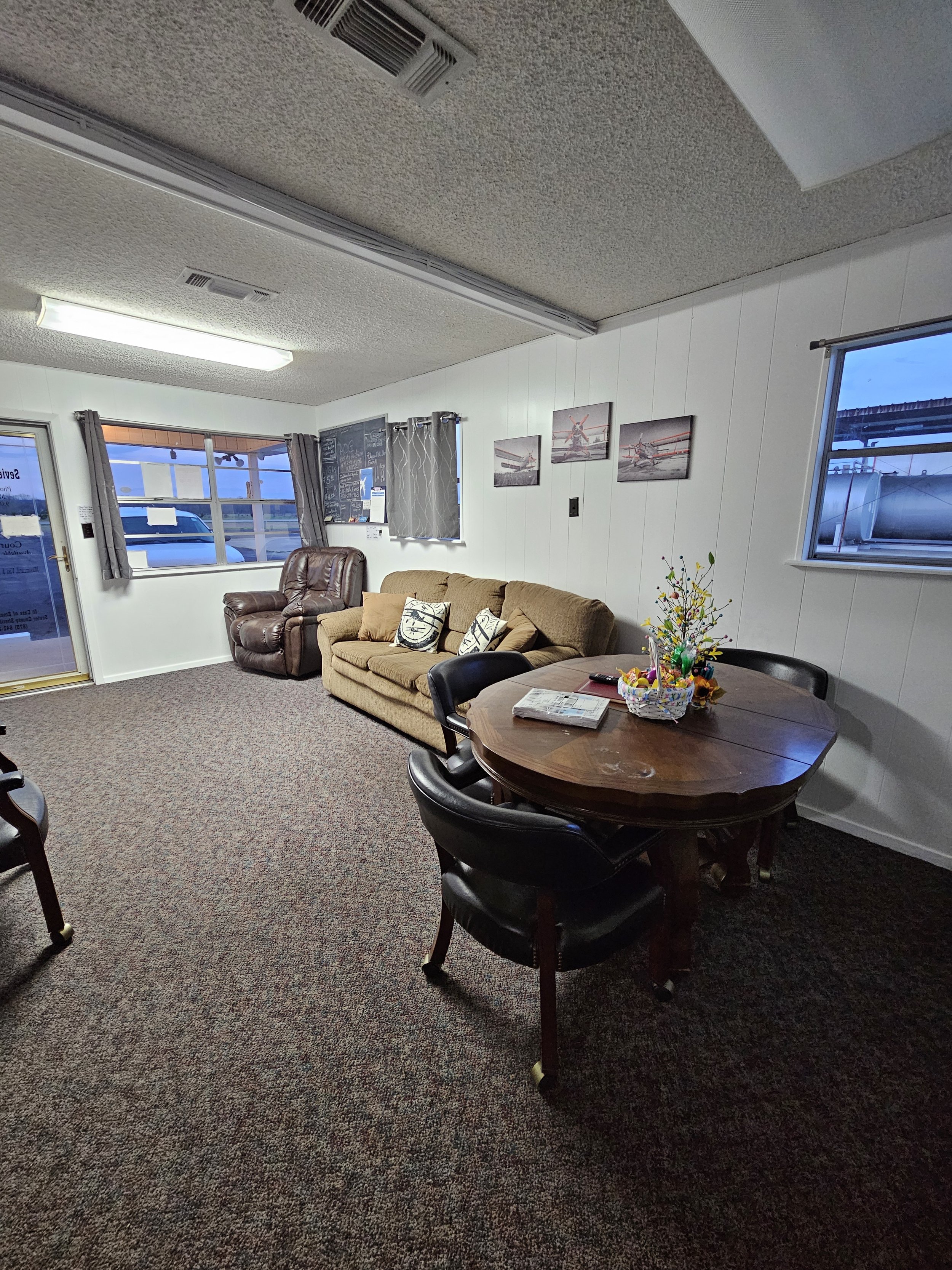
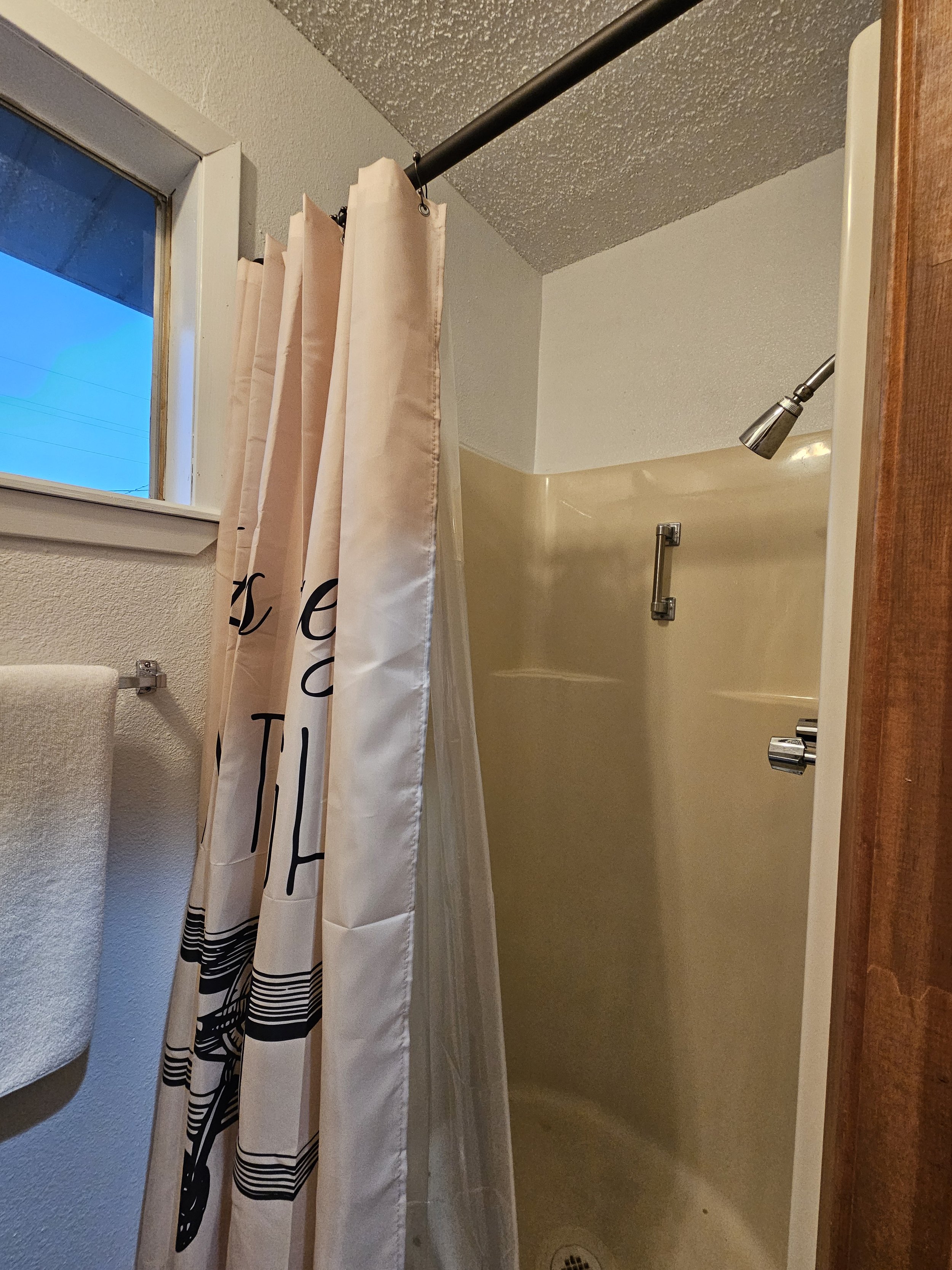
LOUNGE
Our pilot’s lounge features a seating area, two restrooms, a shower, a vending machine, coffee station, and local resources for food, accommodations, and activities.
-

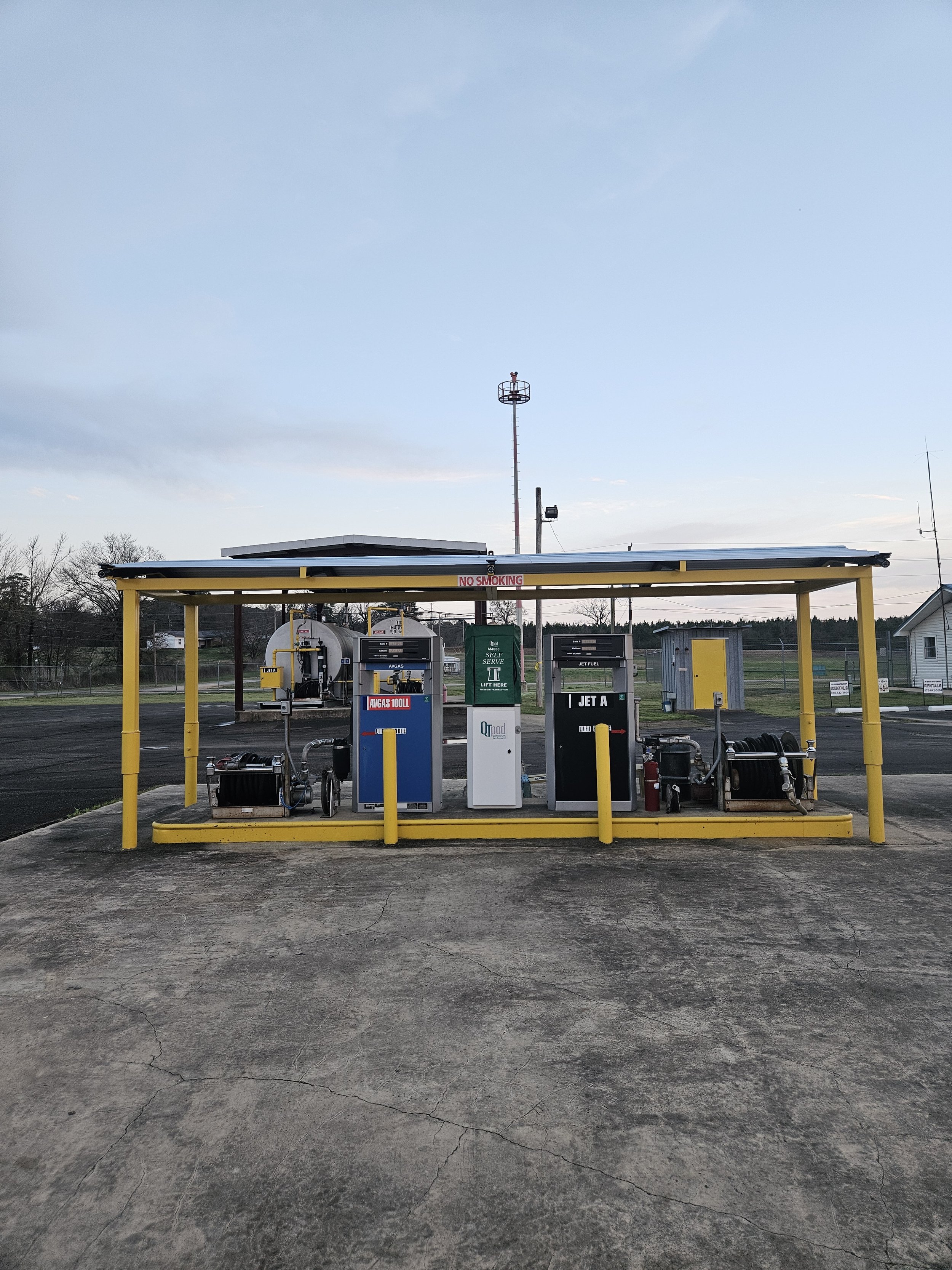
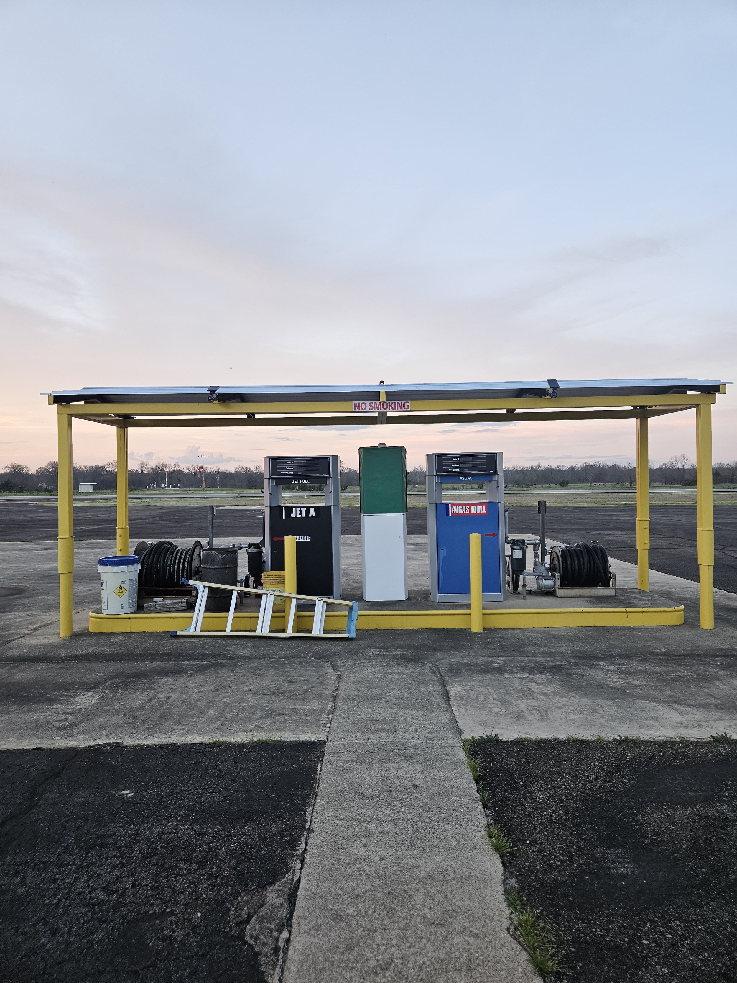
FUEL
Our fuel station offers self-serve 100LL and JET A fuel. All major credit cards accepted.
As of 07/13/2026: 100LL $6.32
Jet-A $4.73